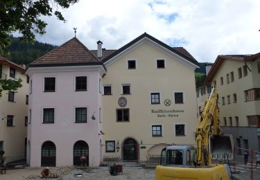
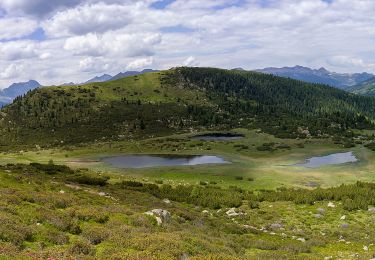
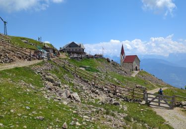
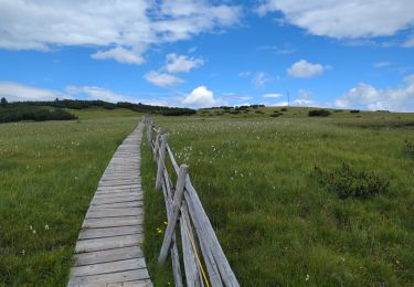
6,5 km | 14,5 km-effort
villander
VacheKiri67
Utilisateur
Longueur
13 km
Boucle
Oui
Date de création :
2019-08-01 08:18:28.534
Dernière modification :
2019-08-01 13:23:30.515
4h42
Difficulté : Moyen
Application GPS de randonnée GRATUITE
À propos
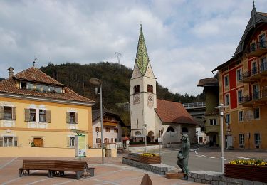
Randonnée Marche de 13 km à découvrir à Trentin-Haut-Adige, Haut-Adige, Villanders - Villandro. Cette randonnée est proposée par VacheKiri67.
Localisation
Pays :
Italie
Région :
Trentin-Haut-Adige
Département/Province :
Haut-Adige
Commune :
Villanders - Villandro
Localité :
Unknown
Départ:(Dec)
Départ:(UTM)
690572 ; 5168333 (32T) N.
Commentaires
Randonnées à proximité
AVS 3 - Sarnthein - Gasteiger Sattel
A pied
Facile
Villanders - Villandro,
Trentin-Haut-Adige,
Haut-Adige,
Italie
10,9 km | 19,4 km-effort
4h 24min
Non
AVS 6 - Gasserhütte - Schloss Reinegg
A pied
Facile
Villanders - Villandro,
Trentin-Haut-Adige,
Haut-Adige,
Italie
8,8 km | 14,9 km-effort
3h 23min
Non
Latzfonser Kreuz
Marche
Difficile
Klausen - Chiusa,
Trentin-Haut-Adige,
Haut-Adige,
Italie
14,8 km | 27 km-effort
6h 24min
Oui
Villanderer Alm - Stöfflhütte et prairies marécageuses
Marche
Moyen
Villanders - Villandro,
Trentin-Haut-Adige,
Haut-Adige,
Italie
15,7 km | 22 km-effort
5h 3min
Oui
Vogelweider Rundweg
A pied
Facile
Lajen - Laion,
Trentin-Haut-Adige,
Haut-Adige,
Italie
7,2 km | 12,6 km-effort
2h 52min
Oui
IT-35
A pied
Très difficile
Waidbruck - Ponte Gardena,
Trentin-Haut-Adige,
Haut-Adige,
Italie
39 km | 70 km-effort
15h 55min
Non
Keschtnweg - Sentiero del Castagno
A pied
Très difficile
Klausen - Chiusa,
Trentin-Haut-Adige,
Haut-Adige,
Italie
27 km | 41 km-effort
9h 21min
Non
Villanderer Alm
Marche
Moyen
Villanders - Villandro,
Trentin-Haut-Adige,
Haut-Adige,
Italie
13,7 km | 22 km-effort
4h 44min
Oui